
 United Kingdom
 France
 Germany
 Netherlands
 Sweden
 USA
USA
 Italy
Italy
 Spain
Spain
More From Contributor


Bramhall North 1907
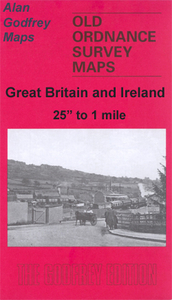
Bramhall North in 1907 in a fascinating series of reproductions of old Ordnance Survey plans in the Alan Godfrey Editions, ideal for anyone interested in the history of their neighbourhood or family. Selected towns in Great Britain and Ireland are covered by maps showing the extent of urban development in the last decades of the 19th and early 20th century.In this title: the map covers the northern part of Bramhall, stretching from Bramhall Green southward along Bramhall Lane to Pownall Hall and (on margin of map) Bramhall station. Though the map is semi-rural, features include Hillbrook Grange, Pownall Green, Hardy Farm, Bramhall Park, St Michael's church, Lady Brook. A directory of Bramhall is on the reverse, together with a timetable for the Macclesfield-Manchester line in
1898. About the Alan Godfrey Editions of the 25
1898. About the Alan Godfrey Editions of the 25
Product Description
Reviews/Comments
Add New
Intelligent Comparison
Archived Product

Bramhall North 1907 Stanfords
£3.50
Archived Product
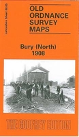
Bury North 1908 Stanfords
£3.50
Archived Product
Wrexham North 1909 Stanfords
£3.50
Archived Product
Horwich North 1907 Stanfords
£2.95
Archived Product

Horwich North 1907 Stanfords
£3.50
Vouchers
No voucher codes found.
Do you know a voucher code for this product or supplier? Add it to Insights for others to use.
Do you know a voucher code for this product or supplier? Add it to Insights for others to use.
 Denmark