
 United Kingdom
 France
 Germany
 Netherlands
 Sweden
 USA
USA
 Italy
Italy
 Spain
Spain
More From Contributor


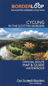
Borderloop: Scottish Borders Cycle Tour
Borderloop: Scottish Borders Cycle Tour on a double-sided, waterproof and tear-resistant map at 1:110, 000 approx from Footprint. The course of the 400km / 250 mile tour is highlighted on a base map which shows topography by altitude tints and colouring for woodlands. Gradient markings show steep passages, sections or points requiring special care are indicated, and cycling distances are marked. The map also indicates which sections of the route are part of the Nation Cycle Network, the Tweed Cycle Route and the Four Abbeys Cycle Route. Locations along the route are annotated with symbols showing what facilities can be found there. Each section has a brief description including useful contact numbers.

Product Description
Reviews/Comments
Add New
Vouchers
No voucher codes found.
Do you know a voucher code for this product or supplier? Add it to Insights for others to use.
Do you know a voucher code for this product or supplier? Add it to Insights for others to use.
 Denmark