
 United Kingdom
 France
 Germany
 Netherlands
 Sweden
 USA
USA
 Italy
Italy
 Spain
Spain
More From Contributor


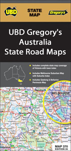
Australia: UBD Gregory`s State Road Maps
Australia’s states in a series of maps from UDB Gregory`s combining a road map of the whole state with:- in a ”State and Suburban” title, a map showing suburbs of the state capital- in a ”State and Cities” title, a city centre street plan of the state capital plus street plans of other citiesSome states are currently covered by only one of these two versions, others are available in both. Certain titles, as indicated in the individual description, are waterproof and tear-resistant.The state map is indexed and shows the road and railway networks. Topography is indicated by names of deserts, mountain ranges and selected peaks, with national parks, reserves and protected areas, aboriginal lands, and World Heritage sites highlighted. Symbols provide tourist information,
highlighting places of interest and information centres, etc. Each map has a grid showing latitude and longitude at 1º intervals.
highlighting places of interest and information centres, etc. Each map has a grid showing latitude and longitude at 1º intervals.

Product Description
Reviews/Comments
Add New
Vouchers
No voucher codes found.
Do you know a voucher code for this product or supplier? Add it to Insights for others to use.
Do you know a voucher code for this product or supplier? Add it to Insights for others to use.
 Denmark