
 United Kingdom
 France
 Germany
 Netherlands
 Sweden
 USA
USA
 Italy
Italy
 Spain
Spain
More From Contributor

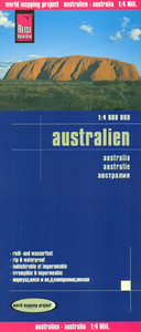
Australia Reise Know-How
Australia at 1:4, 000, 000 on an indexed road map with topographic and tourist information, printed on light, waterproof and tear-resistant plastic paper. The map, published by Reise Know-How as part of their highly acclaimed World Mapping Project, is double-sided to provide the best balance between a good scale and a convenient size sheet.Road network is shown on a base with light altitude colouring and contours showing the country’s topography. Principal highways and many local roads and outback tracks are named, with driving distances shown on main routes. Railway lines are included and local airports are marked.National parks and other protected areas, Aboriginal lands and restricted entry zones are indicated. The map also highlights various places of interest. Latitude and
longitude lines are drawn at intervals of 1°. The index includes a long list of national parks and protected areas.
longitude lines are drawn at intervals of 1°. The index includes a long list of national parks and protected areas.

Product Description
Reviews/Comments
Add New
Vouchers
No voucher codes found.
Do you know a voucher code for this product or supplier? Add it to Insights for others to use.
Do you know a voucher code for this product or supplier? Add it to Insights for others to use.
 Denmark