
 United Kingdom
 France
 Germany
 Netherlands
 Sweden
 USA
USA
 Italy
Italy
 Spain
Spain
More From Contributor


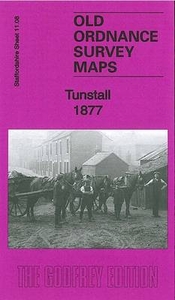
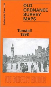
Tunstall 1877
Tunstall in 1877 in a fascinating series of reproductions of old Ordnance Survey plans in the Alan Godfrey Editions, ideal for anyone interested in the history of their neighbourhood or family. Selected towns in Great Britain and Ireland are covered by maps showing the extent of urban development in the last decades of the 19th and early 20th century.In this title: two versions have been published for this area. The maps cover the centre and western part of Tunstall, one of the Potteries 'Six Towns'. Coverage extends from King Street southward to Westport Lake, and from Stanley Street westward to Bradwell Wood. Features include Market Hall, Market Square, earthenware manufactories, Brownhills Hall, Brownhills Tileries, Jubilee Buildings, Ravensdale Iron Works, stretch of North
Staffordshire Railway with sidings and industrial lines, gas works, Trent & Mersey Canal, chemical works, Chatterley Coal & Iron Works, Bradwell Wood Tileries, part of NSR Chesterton Branch, Parkhouse Colliery, High Carr Colliery, part of NSR Talk o' th' Hill Branch, old collieries, Bradwell Wood etc. Extracts from various directories are on the reverse. About the Alan Godfrey Editions of the 25
Staffordshire Railway with sidings and industrial lines, gas works, Trent & Mersey Canal, chemical works, Chatterley Coal & Iron Works, Bradwell Wood Tileries, part of NSR Chesterton Branch, Parkhouse Colliery, High Carr Colliery, part of NSR Talk o' th' Hill Branch, old collieries, Bradwell Wood etc. Extracts from various directories are on the reverse. About the Alan Godfrey Editions of the 25
Product Description
Reviews/Comments
Add New
Intelligent Comparison
Archived Product
Tunstall 1877 Stanfords
£3.50
Archived Product
Tunstall 1898 Stanfords
£3.50
Vouchers
No voucher codes found.
Do you know a voucher code for this product or supplier? Add it to Insights for others to use.
Do you know a voucher code for this product or supplier? Add it to Insights for others to use.
 Denmark