
 United Kingdom
 France
 Germany
 Netherlands
 Sweden
 USA
USA
 Italy
Italy
 Spain
Spain
More From Contributor


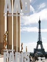
Paris - Art, Architecture, Design
TeNeues Art, Architecture and Design guide to Paris.About this series:TeNeues` line of pocket guides on Art, Architecture, and Design (AAD for short) give an unparalleled insider overview of major sights as well as highlighting lesser-known gems. A handy reference, these slim volumes are chock-full of museums, galleries, as well as favorite hipster hangouts from hotels and restaurants to bars and shops. Entries include the KW Institute for Contemporary Art, the Helmut Newton Foundation, and many more. The directory listings are filled with detailed information and a city plan for each title.

Product Description
Reviews/Comments
Add New
Intelligent Comparison
Archived Product
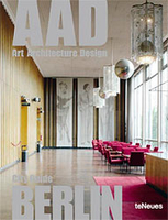
Berlin - Art, Architecture, Design Stanfords
£8.95
Archived Product
Vienna - Art, Architecture, Design Stanfords
£12.99
Archived Product
Barcelona - Art, Architecture, Design Stanfords
£8.95
Archived Product

New York - Art, Architecture, Design Stanfords
£12.99
Archived Product

London - Art, Architecture, Design Stanfords
£8.95
Archived Product
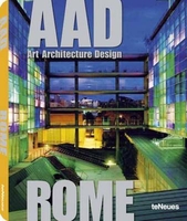
Art Architecture Design Rome Stanfords
£8.95
Vouchers
No voucher codes found.
Do you know a voucher code for this product or supplier? Add it to Insights for others to use.
Do you know a voucher code for this product or supplier? Add it to Insights for others to use.
 Denmark