
 United Kingdom
 France
 Germany
 Netherlands
 Sweden
 USA
USA
 Italy
Italy
 Spain
Spain
More From Contributor


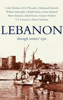
Lebanon - Through Writers` Eyes
This book is a record of the people who visited Lebanon from between 1800 BC to the last summer; and of the Lebanese themselves, writing about their homeland, their religions, their joys, their wars and their sorrows. The passages have been selected and presented by Ted Gorton and Andree Feghali Gorton. Ted first came to Lebanon in 1967, to study Arabic at the American University of Beirut, AUB; there he met his archaeologist wife Andree. They describe their book as a labour of love: in it, the visitor to Lebanon will discover a country that is infinitely richer, more diverse and perennial than the headlines of the last few decades might suggest. A Lebanese reader will delight in the familiar, as well as discovering new treasures of description, analysis, and literature.

Product Description
Reviews/Comments
Add New
Intelligent Comparison
Archived Product
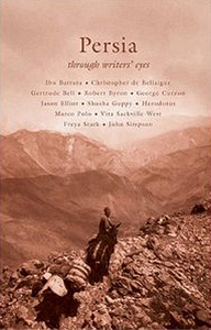
Persia - Through Writers` Eyes Stanfords
£14.99
Archived Product
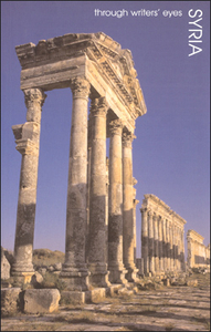
Syria - Through Writers` Eyes Stanfords
£12.99
Archived Product
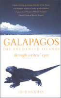
Galapagos - Through Writers` Eyes Stanfords
£12.99
Archived Product
Japan Through Writers` Eyes Stanfords
£12.99
Archived Product
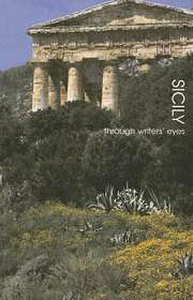
Sicily - Through Writers` Eyes Stanfords
£12.99
Archived Product
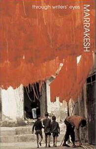
Marrakesh - Through Writers` Eyes Stanfords
£12.99
Archived Product
Croatia - Through Writer`s Eyes Stanfords
£12.99
Archived Product
Central Asia: Through Writers` Eyes Stanfords
£12.99
Vouchers
No voucher codes found.
Do you know a voucher code for this product or supplier? Add it to Insights for others to use.
Do you know a voucher code for this product or supplier? Add it to Insights for others to use.
 Denmark