
 United Kingdom
 France
 Germany
 Netherlands
 Sweden
 USA
USA
 Italy
Italy
 Spain
Spain
More From Contributor

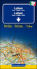
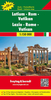

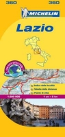
Lazio Michelin Local 360
Includes enlargements of Rome, Tivoli, Viterbo- all separately indexed.About this series:Indexed 1:200, 000 scale regional maps of Italy with street plans of main cities. Topography is indicated by bold relief shading with spot heights and colouring for forested areas. Detailed road information, characteristic of Michelin’s maps, includes toll and free sections of motorways, road widths, difficult or dangerous roads, restrictions and seasonal closures, steep gradients, level crossings and fords, etc. Railway lines are shown with stations and car ferry routes indicate maximum tonnage. Also included is a distance/driving time table for quick and easy reference.Tourist information includes selected campsites, places of interest, scenic routes and viewpoints, sport and leisure
facilities, etc. The maps have a grid showing latitude and longitude at intervals of 10’. The index of place names is next to the map; map legend includes English.
facilities, etc. The maps have a grid showing latitude and longitude at intervals of 10’. The index of place names is next to the map; map legend includes English.

Product Description
Reviews/Comments
Add New
Intelligent Comparison
Archived Product
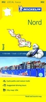
Nord Michelin Local 302 Stanfords
£5.99
Archived Product
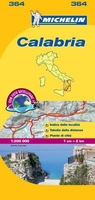
Calabria Michelin Local 364 Stanfords
£5.99
Archived Product

Sardinia Michelin Local 366 Stanfords
£5.99
Archived Product
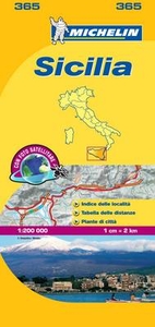
Sicily Michelin Local 365 Stanfords
£5.99
Archived Product
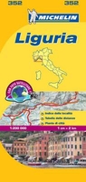
Liguria Michelin Local 352 Stanfords
£5.99
Archived Product
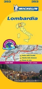
Lombardy Michelin Local 353 Stanfords
£5.99
Archived Product
Veneto Michelin Local 355 Stanfords
£5.99
Archived Product
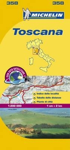
Tuscany Michelin Local 358 Stanfords
£5.99
Vouchers
No voucher codes found.
Do you know a voucher code for this product or supplier? Add it to Insights for others to use.
Do you know a voucher code for this product or supplier? Add it to Insights for others to use.
 Denmark