
 United Kingdom
 France
 Germany
 Netherlands
 Sweden
 USA
USA
 Italy
Italy
 Spain
Spain
More From Contributor


Ireland Touring Map 2010-11
Ireland at 1:450, 000 from OSI, the Ordnance Survey of Ireland, presenting the whole island (Eire and Northern Ireland) in a choice of three different versions with the same base map enhanced by different additional information:The base map shows the road and rail networks, with place names in their traditional English versions, plus the Irish names where appropriate (Cork/Corcaigh, Limerick/Luimneach, etc). Also marked are county boundaries. The three versions then have:Driving Map (this title): has a plain white base for clearer presentation of the road network and the driving distances shown national and regional routes. Rivers and lakes are shown but beyond it there is no topographic information on mountains, national parks, etc. The index is in a separate booklet attached to
the map cover.Touring Map: includes additionally names of mountain ranges and peaks or spot heights to indicate the topography. Road network shows scenic roads and a range of symbols highlight campsites, youth hostels, golf courses (indicating 9 or 18 holes), nature reserves, race courses, etc. Enlargements at 1:120, 000 show in greater detail road access to Dublin, Cork, Limerick, Galway and Belfast. The map also has a distance table. The index is in a separate booklet attached to the map cover.Leisure Map: has a similar base to the Driving Map (i.e. no topography) and no scenic routes, but provides more prominent and more extensive symbols highlighting leisure facilities: campsites, youth hostels, golf courses (indicating 9 or 18 holes), nature reserves, race courses,
marinas and moorings, beaches, etc. The map also shows selected long-distance footpaths and cycle routes. No index is provided.
Product Description
Reviews/Comments
Add New
Intelligent Comparison
Archived Product
Ireland Driving Map 2010-2011 Stanfords
£7.99
Archived Product
Ireland Touring Map Stanfords
£4.99
Archived Product
Ireland Touring Map Stanfords
£7.99
Archived Product
Ireland Touring Map Stanfords
£4.99
Archived Product
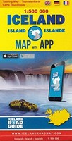
Iceland Touring Map Stanfords
£15.99
Archived Product
Ireland Touring Atlas Stanfords
£5.99
Archived Product
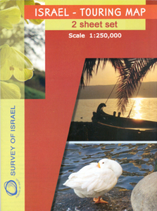
Israel Touring Map 2-Sheets Stanfords
£17.99
Archived Product
Ireland Collins Touring Map Stanfords
£4.99
Vouchers
No voucher codes found.
Do you know a voucher code for this product or supplier? Add it to Insights for others to use.
Do you know a voucher code for this product or supplier? Add it to Insights for others to use.
 Denmark