
 United Kingdom
 France
 Germany
 Netherlands
 Sweden
 USA
USA
 Italy
Italy
 Spain
Spain
More From Contributor


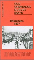
Harpenden 1897
Harpenden in 1897 in a fascinating series of reproductions of old Ordnance Survey plans in the Alan Godfrey Editions, ideal for anyone interested in the history of their neighbourhood or family. The map is double-sided for maximum coverage. The main map covers the centre and northern part of the town, stretching from Wheathampstead Road and St Albans Road northward to Holly Bush Lane. High Street runs through the map, leading to Luton Road. Features include the station, St Nicholas church, George Hotel, Brewery, Water Works, Harpenden Lodge, Church Green, St George`s School. From Harpenden Junction a spur swings round to the MR Hemel Hempstead Branch. Coverage continues eastward to Manland Common and in the top right corner is a portion of the GNR railway with its Harpenden
station. On the reverse is a large portion of adjacent sheet 27.11 extending coverage southward to include Harpenden Common, part of Bowling Alley, Hatching Green and Rothamsted.About the Alan Godfrey Editions of the 25” OS Series:Selected towns in Great Britain and Ireland are covered by maps showing the extent of urban development in the last decades of the 19th and early 20th century. The plans have been taken from the Ordnance Survey mapping and reprinted at about 15 inches to one mile (1:4, 340). On the reverse most maps have historical notes and many also include extracts from contemporary directories. Most maps cover about one mile (1.6kms) north/south, one and a half miles (2.4kms) across; adjoining sheets can be combined to provide wider coverage.FOR MORE INFORMATION AND A
COMPLETE LIST OF ALL AVAILABLE TITLES PLEASE CLICK ON THE SERIES LINK.

Product Description
Reviews/Comments
Add New
Intelligent Comparison
Archived Product
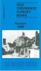
Hendon 1895 Stanfords
£3.50
Vouchers
No voucher codes found.
Do you know a voucher code for this product or supplier? Add it to Insights for others to use.
Do you know a voucher code for this product or supplier? Add it to Insights for others to use.
 Denmark