
 United Kingdom
 France
 Germany
 Netherlands
 Sweden
 USA
USA
 Italy
Italy
 Spain
Spain
More From Contributor
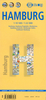


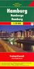
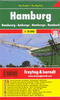
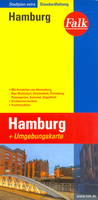
Hamburg EXTRA
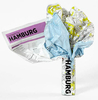
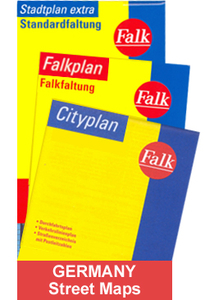
Falk, one of Germany`s leading publishers of street plans, produce their town plans in two different formats. Falk Extra plans are folded in a standard way, where the whole map can be opened to view the entire area it covers. For larger cities, the same mapping is also published with a special folding system designed to show only a small section of the map at one time. The whole map can be opened but it will be cut in several places. Many find these street plans very user-friendly and easier to handle than conventional maps. The plans, which cover towns with their outer suburbs, indicate main landmarks and public buildings and show all the public transport facilities, one way streets and car parks. Plans of lager cities include a separate map of the town centre at a more detailed
scale and a diagram of the underground and the suburban rail network. The plans also show the postal divisions and have an extensive street index which, where appropriate, shows individual postal codes for each street. Map legend includes English. Falk Extra plans also include on the reverse a road map of the surrounding area.
scale and a diagram of the underground and the suburban rail network. The plans also show the postal divisions and have an extensive street index which, where appropriate, shows individual postal codes for each street. Map legend includes English. Falk Extra plans also include on the reverse a road map of the surrounding area.

Product Description
Reviews/Comments
Add New
Intelligent Comparison
Archived Product
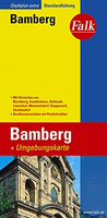
Bamberg EXTRA Stanfords
£7.99
Archived Product
Magdeburg EXTRA Stanfords
£7.99
Archived Product

Augsburg EXTRA Stanfords
£7.99
Archived Product

Wurzburg EXTRA Stanfords
£7.99
Archived Product
Flensburg EXTRA Stanfords
£7.99
Archived Product

Nuremberg EXTRA Stanfords
£8.99
Vouchers
No voucher codes found.
Do you know a voucher code for this product or supplier? Add it to Insights for others to use.
Do you know a voucher code for this product or supplier? Add it to Insights for others to use.
 Denmark