
 United Kingdom
 France
 Germany
 Netherlands
 Sweden
 USA
USA
 Italy
Italy
 Spain
Spain
More From Contributor


European Union Wall Map PAPER
Political wall map of Europe at 1:6, 000, 000 with all place names in French, showing in lovely pastel colours the countries belonging to the European Union. Coverage extends to the Urals and the Caspian Sea, and includes the whole of the Mediterranean Basin.Countries outside the EU are all in one colour but with their borders clearly marked. An inset shows the Canary Islands and, as expected from a map published by the Institut G
Product Description
Reviews/Comments
Add New
Intelligent Comparison
Archived Product
European Union Wall Map ENCAPSULATED Stanfords
£18.50
Archived Product
Europe NGS Classic Wall Map PAPER Stanfords
£12.99
Archived Product
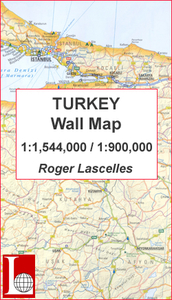
Turkey Wall Map PAPER Stanfords
£11.00
Archived Product

Europe NGS Executive Wall Map PAPER Stanfords
£12.99
Vouchers
No voucher codes found.
Do you know a voucher code for this product or supplier? Add it to Insights for others to use.
Do you know a voucher code for this product or supplier? Add it to Insights for others to use.
 Denmark