
 United Kingdom
 France
 Germany
 Netherlands
 Sweden
 USA
USA
 Italy
Italy
 Spain
Spain
More From Contributor
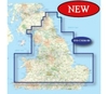
Garmin New Mapping 1.50K Northern Region Preprogrammed Datacard
(Scotland) (Garmin New Mapping 1.50K Northern Region (Scotland))
Garmin New Mapping 1.50K Northern Region Preprogrammed Datacard (Scotland)
Description:
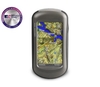
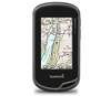
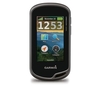
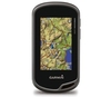
Navigate with Ordnance Survey mapping on your Garmin GPS. Available in 1:50K scale maps with detailed topographic data including terrain contours, topo elevations, summits, paths, routable roads and geographical points.Turn-by-turn navigation anywhere in Great Britain is made possible with integrated street maps, included on all Garmin GB Discoverer products. Search, select and navigate to street addresses and attractions and follow routes on foot, in car or by bike using the familiar Ordnance Survey backdrop.
%20(Garmin%20New%20Mapping%201.50K%20Northern%20Region%20(Scotland)) "Pin It")
Product Description
Reviews/Comments
Add New
Vouchers
No voucher codes found.
Do you know a voucher code for this product or supplier? Add it to Insights for others to use.
Do you know a voucher code for this product or supplier? Add it to Insights for others to use.
 Denmark