
 United Kingdom
 France
 Germany
 Netherlands
 Sweden
 USA
USA
 Italy
Italy
 Spain
Spain
More From Contributor


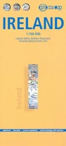
Ireland Borch
Indexed road map of Ireland published by Borch on laminated and tear-resistant paper. Cork & Dublin street plans, and more detailed maps of Killarney NP & the Wicklow Mts are on the reverse. Road detail extends from motorways to secondary roads, with

Product Description
Reviews/Comments
Add New
Intelligent Comparison
Archived Product
Ireland North Stanfords
£3.99
Archived Product
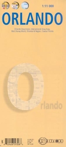
Orlando Borch Stanfords
£8.99
Archived Product
Ireland North Stanfords
£5.90
Archived Product
Ireland South Stanfords
£4.99
Archived Product

Ireland South Stanfords
£7.99
Archived Product
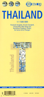
Thailand Borch Stanfords
£9.99
Archived Product

New Zealand Borch Stanfords
£9.99
Archived Product
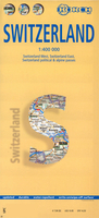
Switzerland Borch Stanfords
£9.99
Vouchers
No voucher codes found.
Do you know a voucher code for this product or supplier? Add it to Insights for others to use.
Do you know a voucher code for this product or supplier? Add it to Insights for others to use.
 Denmark