
 United Kingdom
 France
 Germany
 Netherlands
 Sweden
 USA
USA
 Italy
Italy
 Spain
Spain
More From Contributor


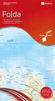
Folda Nordeca 10102
Map No. 10102, Folda, in the new topographic survey of Norway at 1:50, 000 covering the country on 195 double-sided sheets and first published by Nordeca in 2011 - 2012; fully GPS compatible, indicating waymarked footpaths, campsites, tourist huts,

Product Description
Reviews/Comments
Add New
Intelligent Comparison
Archived Product

Folldal Nordeca 10073 Stanfords
£23.99
Archived Product

Bygland Nordeca 10010 Stanfords
£23.99
Archived Product
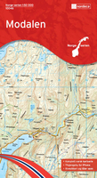
Modalen Nordeca 10046 Stanfords
£23.99
Archived Product
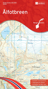
Sandane Nordeca 10062 Stanfords
£23.99
Archived Product

Sogndal Nordeca 10055 Stanfords
£23.99
Archived Product

Kalhovd Nordeca 10032 Stanfords
£23.99
Archived Product

Folgefonna Nordeca 10030 Stanfords
£23.99
Archived Product

Fedje Nordeca 10045 Stanfords
£23.99
Vouchers
No voucher codes found.
Do you know a voucher code for this product or supplier? Add it to Insights for others to use.
Do you know a voucher code for this product or supplier? Add it to Insights for others to use.
 Denmark