
 United Kingdom
 France
 Germany
 Netherlands
 Sweden
 USA
USA
 Italy
Italy
 Spain
Spain
More From Contributor

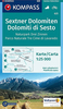
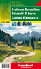
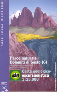
Dolomiti Di Sesto Geological Hiking Map
Dolomiti di Sesto Geological Hiking Map from Tobacco offers an unusual perspective on one of the most popular parts of the Dolomites. This detailed map of the Dolomiti di Sesto Natural Park has in addition to the geological information contours at 25m intervals and is overprinted with waymarked hiking trails indicating difficult passages and via ferrata routes, as well as with symbols showing different types of accommodation: refuges, campsites, youth hostels, etc, Also shown are cable car lines, chair lifts, and various places of interest. Map legend for hiking and tourist information is in Italian and German only.Geological legend and extensive illustrated notes around the map and on the reverse are in Italian only.This title is also available with all the notes in German - please
contact us by e-mail.
contact us by e-mail.

Product Description
Reviews/Comments
Add New
Vouchers
No voucher codes found.
Do you know a voucher code for this product or supplier? Add it to Insights for others to use.
Do you know a voucher code for this product or supplier? Add it to Insights for others to use.
 Denmark